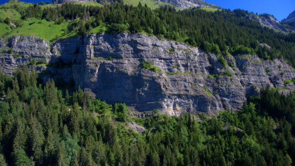
Discover the tourist map of Passy Located in the heart of the Mont Blanc region, Passy is one of the largest communes in France with a surface area of over 80 km². The city extends from the valley to the highest point of Mont Buet at an altitude of 2910m.…
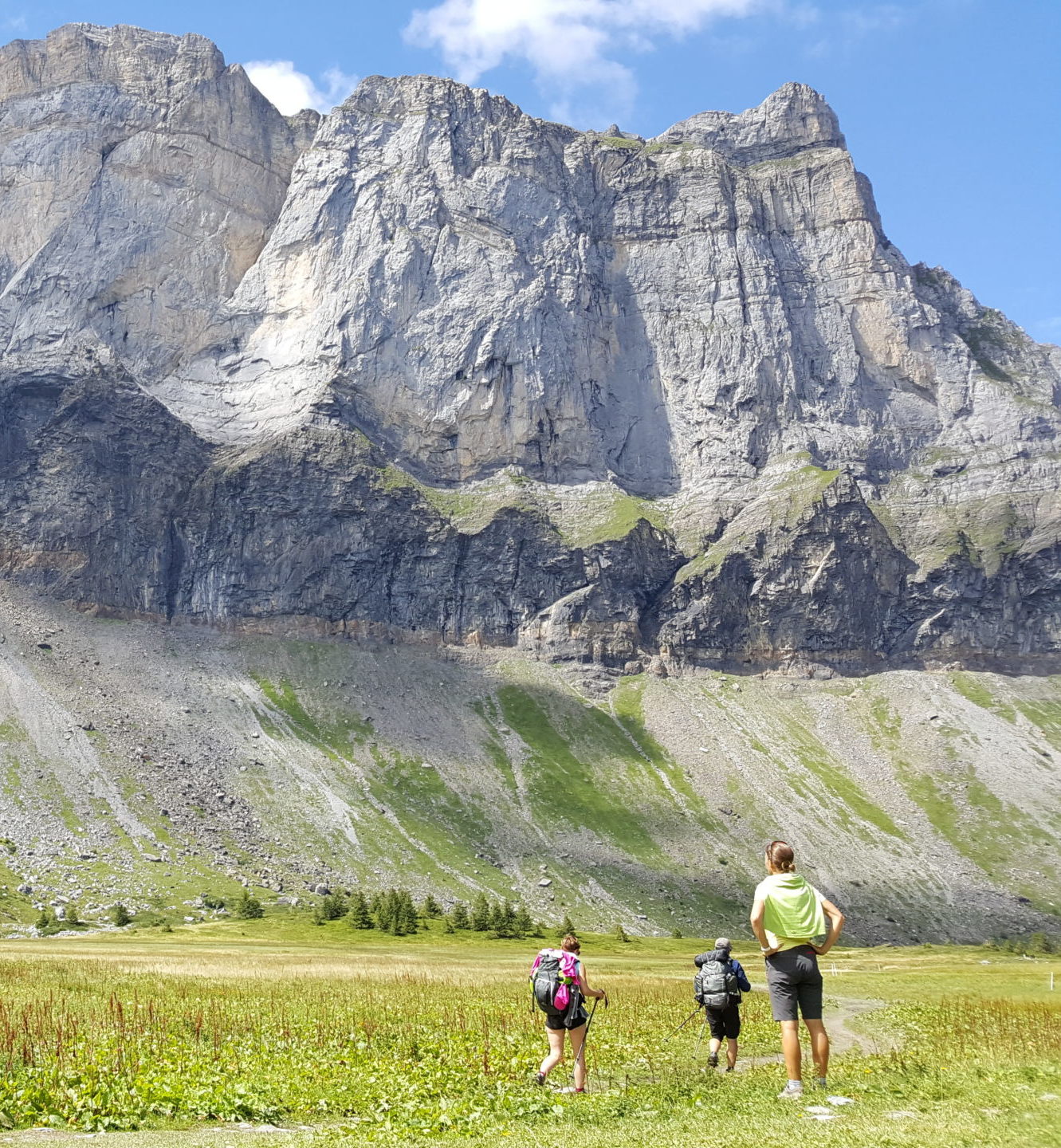
Vue sur les Fiz depuis le refuge d'Alfred Wills
Here you will find a free download of hiking maps for Passy. Click here to buy the hiking map. Nant Bordon Footbridge Downloard here Tour of the Fiz Mountain Range ENG 2023 Downloard here
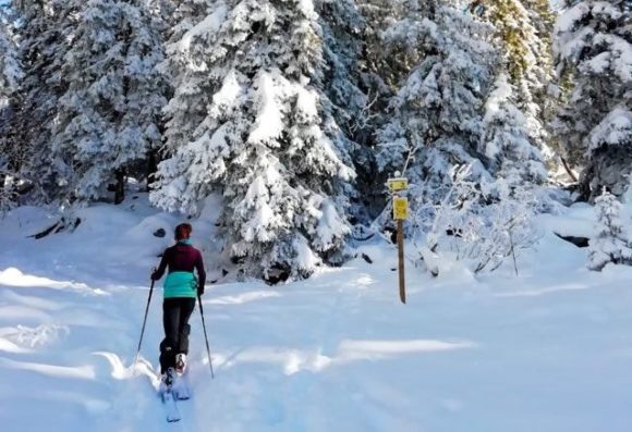
Here you will find a free download of the snowshoeing and ski touring guides for Passy and the surrounding area. Snowshoeing 2022 2023 Mont Blanc Valley Download here Topo Ski Touring ENG 2022 2023 Download here
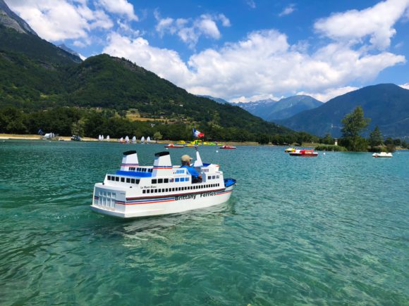
Come and refresh yourself at the Passy leisure centre facing the Mont-Blanc! Whether on the beach with its supervised swimming area or in the grassy creeks, the Iles leisure centre offers real moments of relaxation and leisure. The Passy lake leisure centre offers a multitude of activities in an exceptional…
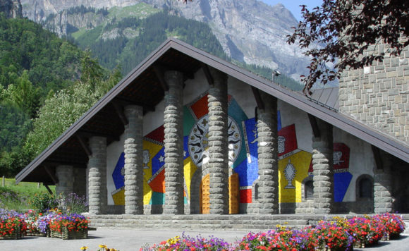
(c) C. Deker Notre Dame de Toute Grâce, architecte M. Novarina
Passy local heritage map (in French only) Click here to dowload. Splendours of our local beritage Click here to dowload Splendeurs Du Patrimoine